Click on the link on the map to have a larger view and print.
GPS coordinates 49° 36′ 50″ N 114° 27′ 44″ W
or if using Decimal System 49.61384 N 114.46146 W

We are located in Southern Alberta, close to Pincher Creek and Fernie and are centrally located to visitors from Calgary, Lethbridge, Montana, Idaho and Washington.

From Calgary: south on Hwy 2 to Fort Mcleod or south on Hwy 22 until to Hwy 3 then West on Hwy 3 to Crowsnest Pass.
From Montana: North on I 15 then highway 4 from Couts to Lethbridge then West on highway 3 to the Crowsnest Pass
From Idaho and Washington: North on highway 95 to highway 3 then east to the Crowsnest pass

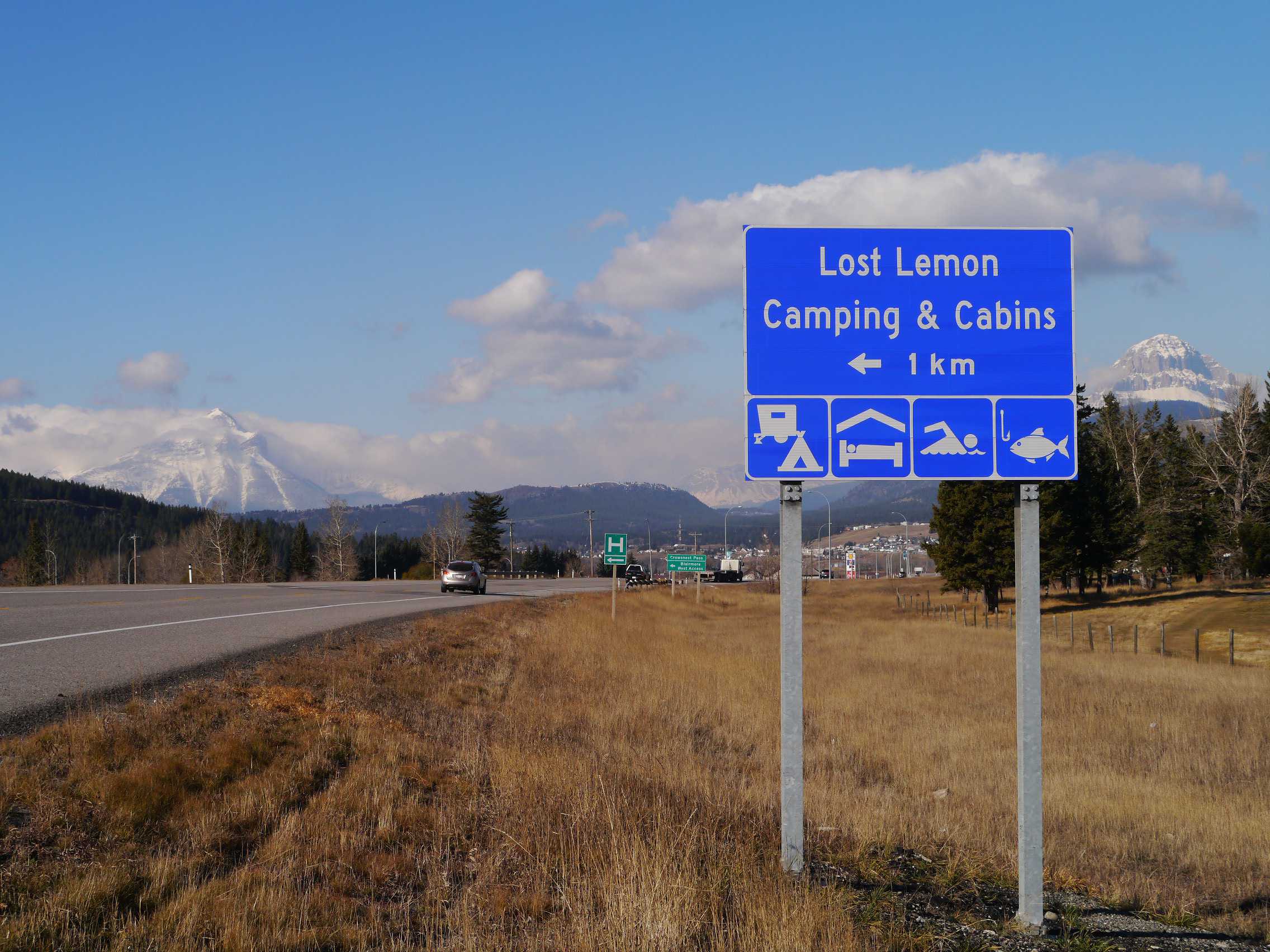
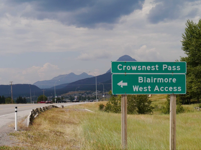
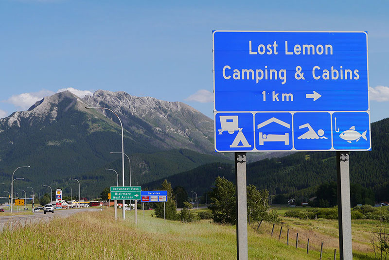
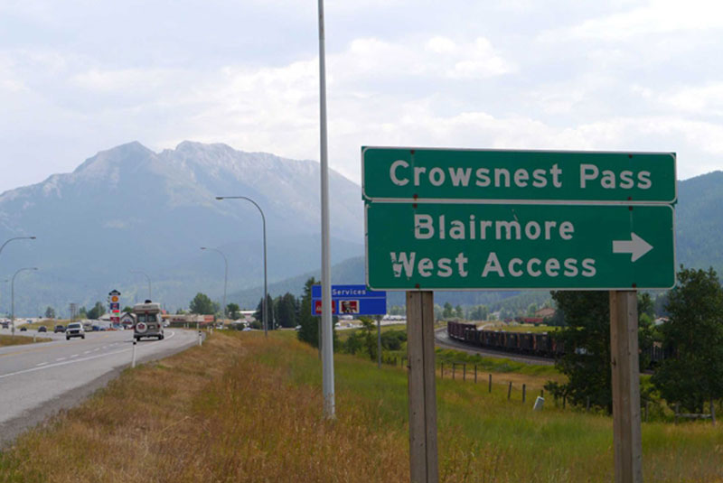
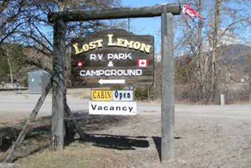
Coming from the East: we recommend you enter by “Blairmore West Access” (by the Hospital) then turn left on 20th Avenue ( Main street ) and go to 112th Street and turn right (you will see our sign there) and on 19th Avenue make another right until you reach the campground.